Over the past several years new technologies have come to market that are clearly starting to benefit the snow business. The high-efficiency snow wands and control systems of HKD Snowmakers are a good example of this and so is Vail Resorts’ EpicMix application. Various new technologies have proven their value to us all by now.
The next technology to come on the scene for resort operators is snow depth monitoring. Why is this important? By knowing snow depth you can avoid making more snow than is needed in the early and late season. You can also move snow from areas that have excess snow to precise locations on the slopes that need more snow. No more guesswork. Once they implement the right snow depth monitoring system ski resort operators can expect to save 10%-20% in overall snowmaking and grooming costs. A ski area with a $1,000,000 annual budget for snowmaking and grooming can expect to save $100,000-$200,000 per year. That is a substantial savings whether you operate a small-to-medium-sized ski area or a major operation with multiple resorts and an annual budget of 5 to 10 times that amount.
Are they worth the cost? Let’s take a look:
First, some background information: All snow depth monitoring systems require the use of satellite GPS to plot the location of each snow groomer, but there are key differences between what is commonly referred to as a “sat based” (comparative elevation) system versus a ground-based (snow penetrating) system.
Effectiveness: A satellite-based system compares the surveyed altitude of a given point/location to the current altitude that a snow groomer is at once snow is covering the slope. It is claimed that this technology will provide snow depth data to an accuracy of 1-2 inches. A ground-based system pings through the snow surface and measures the distance to the solid ground using wideband radar to an accuracy of 2-4 inches.
Complexity: Sat based systems require a detailed aerial survey map be made of every run on the mountain. In many cases, a system of signal repeaters must be installed and maintained in several locations to boost the satellite signal in deep canyons or certain slope aspects. This is costly, often $100,000 or more just to set up the infrastructure for the system. For a ground-based system such as SnowGage, no such surveys or added infrastructure are needed. A relatively simple and compact wideband radar unit (about the size of a shoe box mounted on the bottom of each snow groomer) sends signals through the snow every few seconds to get an accurate reading of snow depth in real time, without the need to costly repeaters and satellite relays.
Cost: Satellite-based systems have a significant upfront initial cost for mapping and set up, plus a per unit hardware cost up to $50,000 per groomer. A ground-based system has no up-front mapping or set up costs and is under $20,000 per groomer to deploy.
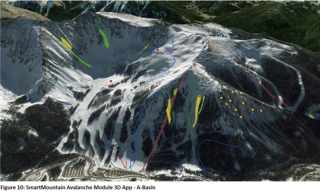
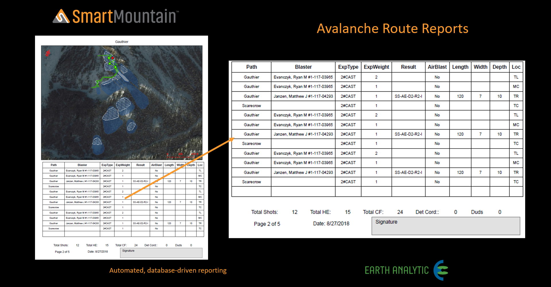
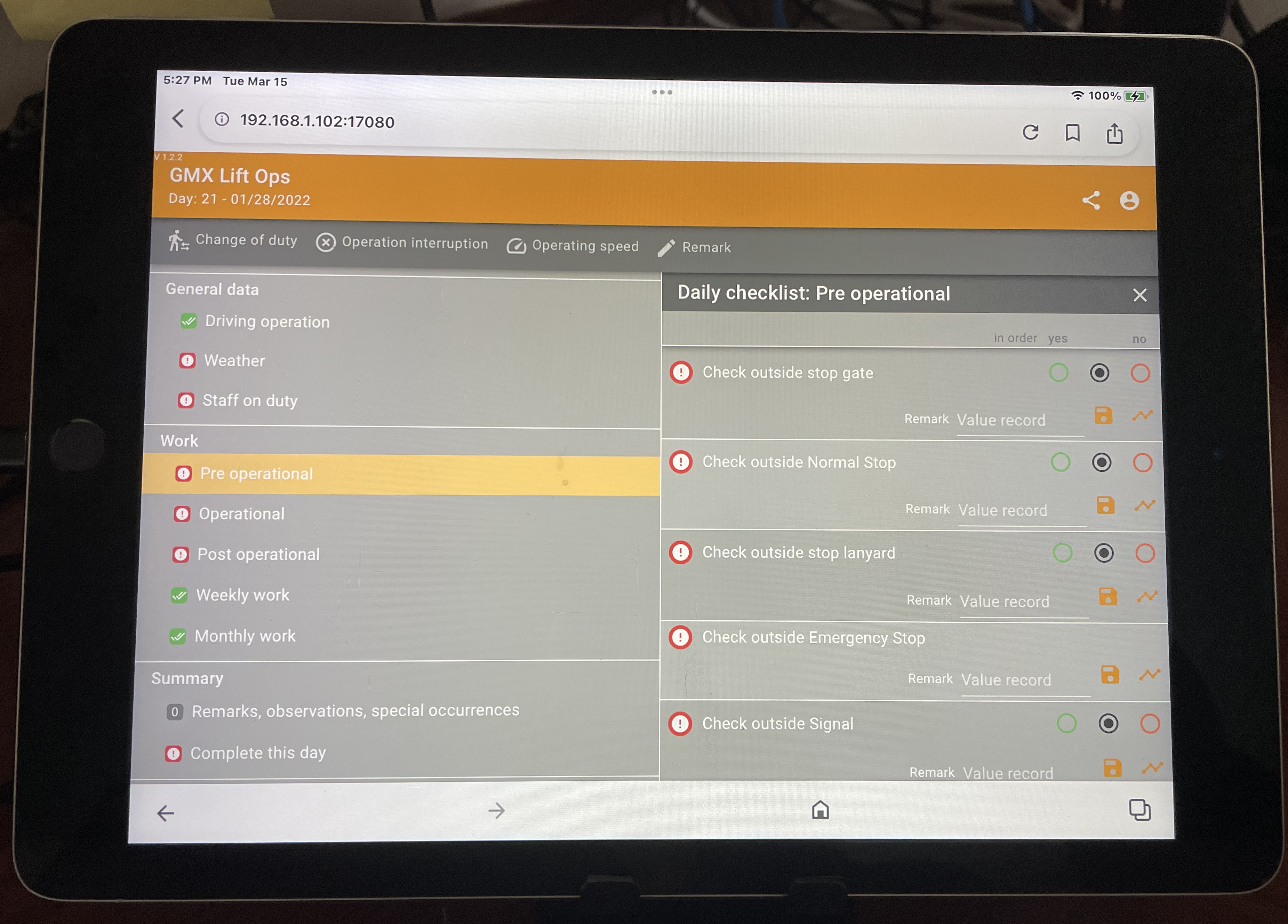
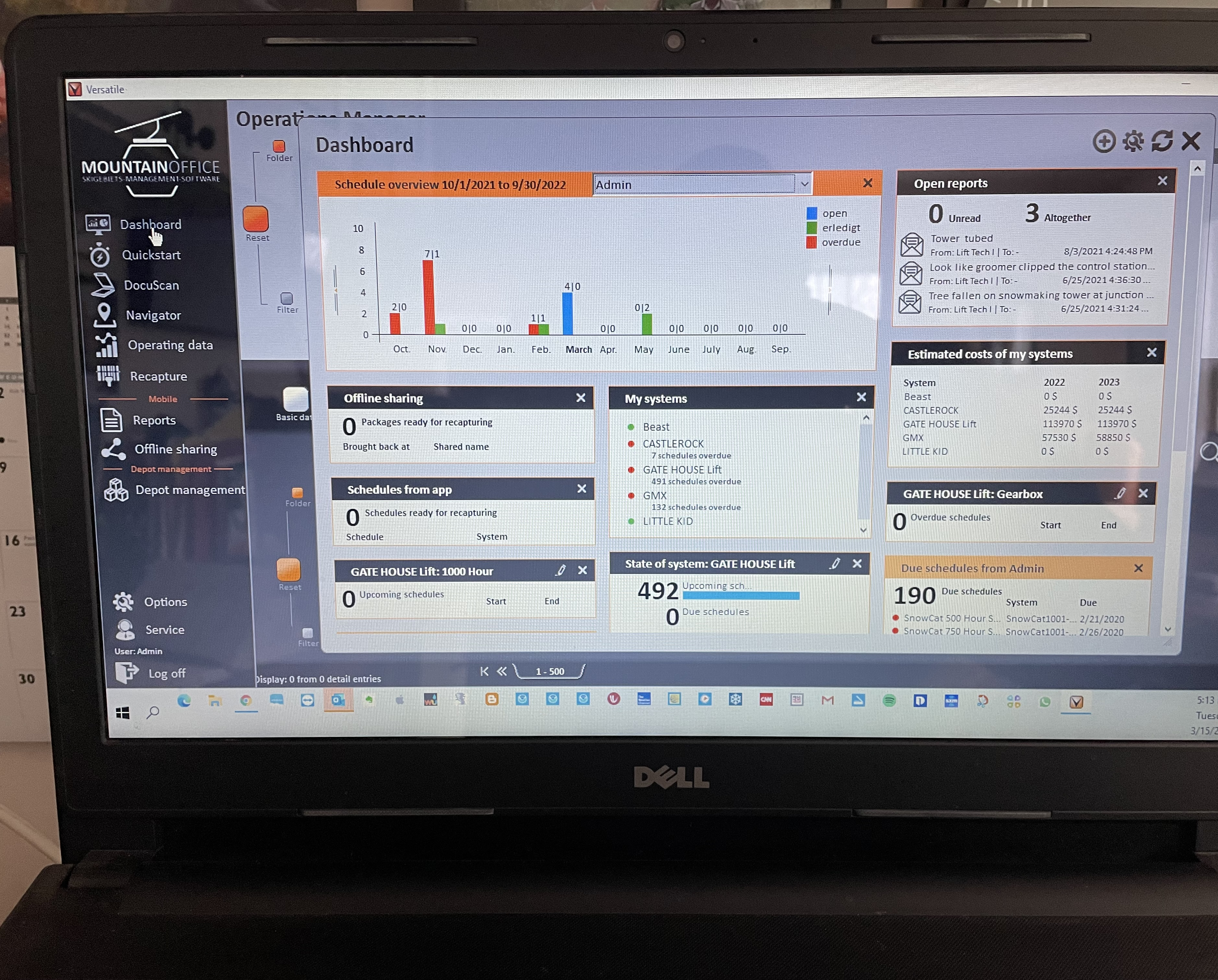
More about ground-based systems such as SnowGage: The units are designed to withstand the rigors of the cold and harsh alpine environment. A rugged tablet is installed inside the cab and paired with the system sensors. A GPS receiver mounted on top of the groomer provides real-time data accessible to resort operations staff through a secure cloud-based app. The visual data includes accurate snow depth, illustrated in color on a high-resolution Google Maps base layer. The system can also display snow groomer fleet locations and performance data. Using this information, resort operators can develop and implement better coverage strategies, manage snow resource allocation and improve overall snowmaking and slope grooming efficiency. The cost is affordable and the savings are significant.
For more information on various systems contact;
SnowGage – John Siewierski (303) 829-1699
Pisten Bully SNOWsat – Josh Nelson – (775) 857-5000
PRINOTH AND LEICA GEOSYSTEMS – Prinoth LLC – (970) 242-7150